Satellite-Based Monitoring for Environmental Sustainability
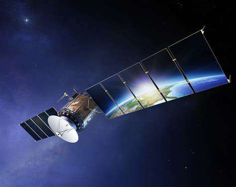
Satellite Imagery for Environmental Monitoring
Satellite imagery provides a powerful tool for environmental monitoring, offering a comprehensive and synoptic view of vast areas. This data allows scientists and researchers to track changes over time in various environmental parameters, from deforestation and agricultural practices to pollution levels and glacier melt. The ability to observe large regions simultaneously is crucial for identifying patterns and trends that might be missed by traditional ground-based methods.
The high resolution and spectral capabilities of modern satellites enable detailed analysis of different land cover types, vegetation health, and water resources. This information is vital for understanding ecological processes and making informed decisions about environmental management strategies.
Remote Sensing Techniques for Monitoring
Various remote sensing techniques are employed to extract valuable information from satellite imagery. These methods include spectral analysis, image classification, and change detection, which allow researchers to identify and quantify specific changes in the environment over time. The analysis of these data can help us understand the dynamic nature of environmental systems and predict future trends with greater accuracy.
Furthermore, the use of multispectral and hyperspectral imagery provides a more detailed understanding of the composition and condition of various materials, enabling scientists to identify different types of vegetation, minerals, and pollutants.
Applications in Assessing Deforestation and Land Use Change
Satellite-based monitoring is invaluable in assessing deforestation and land use change. By tracking forest cover loss and gain over time, researchers can identify areas of significant deforestation and understand the drivers behind these changes. This information is crucial for conservation efforts and sustainable land management practices.
The timely identification of deforestation patterns allows for the rapid deployment of conservation strategies and the enforcement of regulations to mitigate the impact on biodiversity and ecosystem services. This data also aids in the quantification of forest carbon stocks and their contribution to climate change mitigation.
Tracking Pollution Levels and Monitoring Water Resources
Satellite imagery can be used to monitor pollution levels in air and water. By identifying pollution plumes and monitoring water quality indicators, we can understand the extent and impact of pollution on ecosystems. This information is crucial for developing effective pollution control strategies.
Similarly, monitoring water resources, including lakes, rivers, and aquifers, is facilitated by satellite imagery. This allows researchers to track changes in water levels, identify water stress in different regions, and support drought monitoring and flood prediction efforts. Understanding these dynamics is critical for effective water resource management and disaster preparedness.
Predicting and Monitoring Climate Change Impacts
Satellite data plays a critical role in understanding and predicting the impacts of climate change. By monitoring changes in glacier melt, sea level rise, and temperature patterns, we can gain insights into the effects of climate change on various ecosystems and human societies. This information is essential for developing effective adaptation strategies and climate change mitigation policies.
The ability to track these changes over vast areas and long periods provides valuable data for climate models and projections. This helps scientists better understand the complex interactions between the Earth's systems and the effects of human activities on the environment.
Mapping and Monitoring Natural Disasters
Satellite Imagery for Disaster Detection
Satellite imagery plays a crucial role in rapidly identifying and mapping the extent of natural disasters like floods, wildfires, and earthquakes. High-resolution satellite imagery, often captured by optical sensors, can provide detailed visual information of damage patterns, affected areas, and the overall impact on infrastructure and populations. This data is invaluable for initial assessments and helps prioritize response efforts, ensuring resources are allocated effectively to areas most in need.
Utilizing Synthetic Aperture Radar (SAR)
SAR imagery is particularly beneficial for monitoring natural disasters, even in cloud-covered or nighttime conditions. The radar waves used in SAR penetrate clouds and vegetation, providing a clear view of the terrain. This capability is incredibly useful in areas affected by sudden events like landslides or volcanic eruptions, offering crucial data on ground deformation and changes in topography that might not be visible using optical imagery alone.
Real-Time Monitoring of Flooding
Analyzing satellite data in near real-time allows for the continuous monitoring of flooding. By tracking water levels and identifying changes in flooded areas, responders can anticipate the potential for further displacement and damage. This timely information is critical for evacuating populations at risk and coordinating relief efforts, potentially saving lives and minimizing the long-term impact of the disaster.
Assessing Wildfire Impacts
Satellite-based thermal imaging can effectively monitor the progression of wildfires and assess the damage they cause. Monitoring the heat signatures of fires allows for an understanding of their spread and intensity, enabling timely intervention and resource deployment. This data can also aid in post-fire assessments, helping to understand the extent of environmental damage and support long-term recovery efforts.
Measuring Ground Deformation
Monitoring ground deformation resulting from earthquakes, landslides, or volcanic activity is a critical application of space-based observation. Satellite-based interferometric synthetic aperture radar (InSAR) can detect subtle changes in ground elevation, providing valuable information for assessing the risk of further movement and potential hazards. This technology is crucial for identifying and mapping areas prone to future disasters.
Predicting and Preventing Future Disasters
Analyzing historical satellite data can help scientists identify patterns and predict the likelihood of future natural disasters. This data can be used to develop more accurate risk assessments, inform land-use planning, and support the development of preventive measures. By understanding the frequency and characteristics of past events, we can better prepare for and mitigate the impact of future disasters.
Mapping and Monitoring Disaster Relief Efforts
Satellite imagery can also be used to track and monitor disaster relief efforts. This includes mapping the distribution of aid materials, assessing the effectiveness of rescue operations, and monitoring the progress of recovery activities. This data can provide valuable insights into the efficiency of response mechanisms and aid in improving future disaster relief strategies.
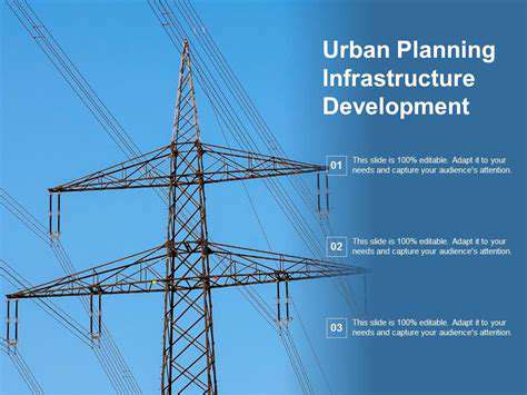
Urban Planning and Infrastructure Development
Urban Sprawl and its Consequences
Urban sprawl, the uncontrolled expansion of urban areas into surrounding rural land, presents significant challenges to sustainable urban planning. This uncontrolled growth often leads to fragmented communities and inefficient infrastructure, increasing transportation costs and environmental damage. The lack of cohesive urban design in sprawling areas typically results in longer commutes, increased reliance on cars, and the loss of valuable green spaces, ultimately impacting the quality of life for residents.
Furthermore, the haphazard development patterns associated with urban sprawl can strain existing infrastructure, requiring substantial investments to maintain adequate water, sewer, and electricity services. This can place a considerable financial burden on local governments and potentially lead to service disruptions during peak periods.
Sustainable Infrastructure Design
Sustainable infrastructure design is crucial for creating resilient and environmentally friendly urban environments. Prioritizing public transportation systems, incorporating green spaces, and promoting energy-efficient building designs are essential elements of a sustainable approach. This includes the use of renewable energy sources, such as solar and wind power, in infrastructure projects to reduce reliance on fossil fuels.
Implementing sustainable practices in urban infrastructure fosters a healthier environment and promotes a more livable city, improving the overall quality of life for residents and minimizing the environmental footprint.
Smart City Technologies
Smart city technologies are transforming urban planning and infrastructure management, offering innovative solutions for various challenges. These technologies leverage data analytics and communication networks to optimize resource allocation, improve public services, and enhance citizen engagement. Smart grids, for example, can optimize energy distribution, reducing waste and promoting energy efficiency.
Public Transportation and Accessibility
Investing in robust public transportation systems is vital for creating accessible and sustainable urban environments. Efficient and affordable public transportation options, such as buses, subways, and trams, reduce reliance on private vehicles, easing traffic congestion and minimizing environmental pollution. Prioritizing accessibility for all members of the community, including people with disabilities, is essential for equitable urban development.
Urban Renewal and Revitalization
Urban renewal and revitalization projects play a crucial role in rejuvenating aging infrastructure and fostering vibrant, livable communities. These initiatives often involve the renovation of existing buildings, the development of new public spaces, and the creation of mixed-use environments. These projects can revitalize neglected neighborhoods, boosting economic activity, attracting new residents, and enhancing the overall quality of life.
Urban Planning and Community Engagement
Effective urban planning requires a strong commitment to community engagement. Involving residents in the planning process fosters a sense of ownership and ensures that projects reflect the needs and aspirations of the community. This can be achieved through public forums, surveys, and other participatory approaches. Engaging with diverse community stakeholders, including residents, businesses, and local organizations, is essential for creating inclusive and equitable urban environments. This ensures that the development aligns with community values and priorities.